


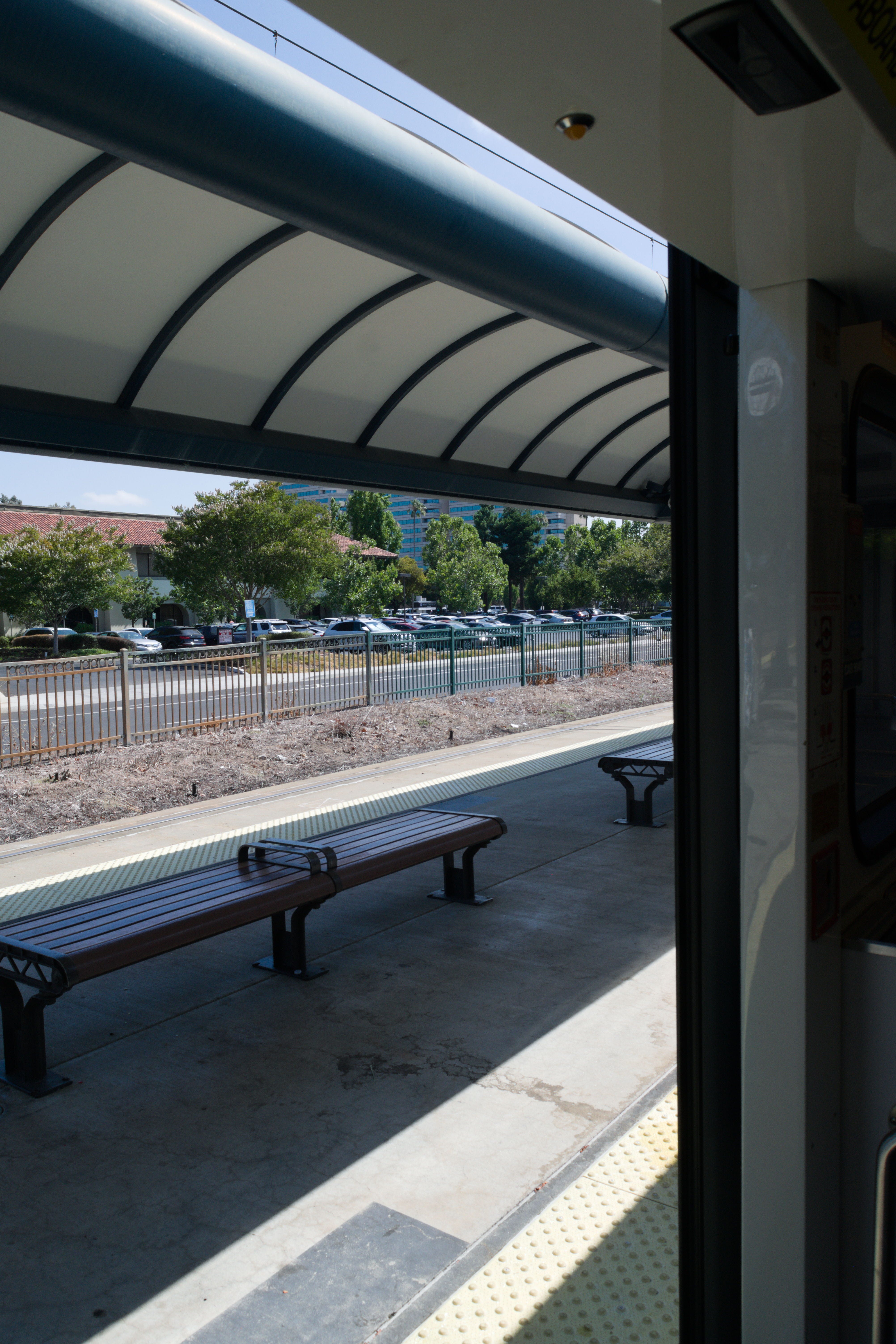
Until the End: 14 Days of Transit Travels
How I rode VTA's bus routes and light rail lines from start to finish.

Every September for the past nine years, the San Francisco Bay Area has recognized Transit Month, thirty days dedicated to celebrating and raising awareness for public transit in the region. In commemoration, I’m retelling the story of a personal project which I undertook this past summer, taking me on 14 days of adventure: riding every one of VTA’s public bus and light rail lines, from the start of the route to the end.
Bored out of my mind in early July, I still had eight weeks left until my next semester in college began, and no idea what to do with that time. At some point, I had heard about UC Berkeley students who’d completed a speedrun of BART, traveling through all 50 stations in just under six hours. I began to think: what if I did something similar with my local transit agency?
As a resident of Santa Clara County, my local public transit agency is the Valley Transportation Authority (VTA), which operates 42 frequent and local bus routes, as well as three light rail lines. With several of these routes spanning more than 20 miles from end to end, and many taking upwards of an hour to travel the entire length of, there was no way I’d be able to reasonably ride all of them quickly. Thus, speedrunning was off the table, and I shifted my focus to riding each of the 45 aforementioned routes end to end.

After grabbing the essentials and writing out some schedules, I set out on the first leg of my journey, and thus:
Day 1 - July 10th
Routes 568 and 86
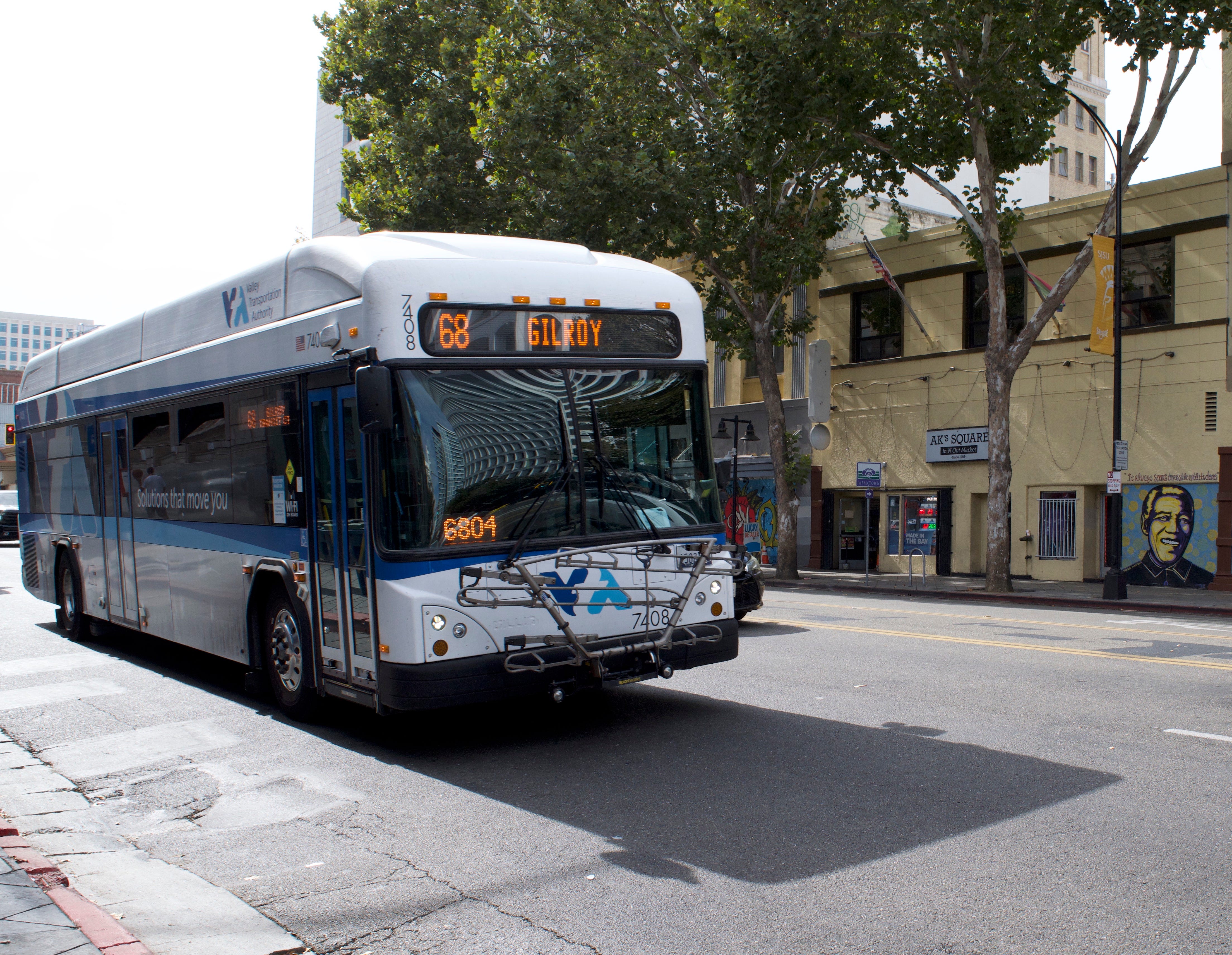
I decided to start strong on my first day and travel 30 miles south to Gilroy, completing two routes in the process. To get there, I would take route 568, a rapid bus line running between Diridon Station in San Jose and the Gilroy transit center, primarily on the quasi-highway Monterey Road. Once in Gilroy, I would take route 86 from the transit center to its terminus at Gavilan College.
After getting to downtown San Jose, I had boarded 568 to Gilroy at 10:14 a.m., and made myself comfortable for the hour-long trip. As a rapid route, it has less stops in a bid to speed up the journey, though it still took a while to complete due to the sheer distance.
I reached Gilroy by 11:30 a.m., and took some time to read while waiting for my next bus. The journey from the transit center to Gavilan College on route 86 only took about ten minutes, making it the shortest route in terms of time that I would complete throughout the entire project.
I had taken my bike with me, and from Gavilan College, I took off to ride along some trails, and by places I had frequented back when I lived in Gilroy. This only took a couple of hours, and with some spare time left over before I was due to catch a bus back to San Jose, I went to downtown Gilroy and sat down inside of a quaint coffee shop to get out of the heat.
I boarded 568 again at 3 p.m. and set out back to San Jose, arriving just over an hour later and taking a different bus route back home. Due to this, I actually rode route 568 end to end twice in one day.
Progress: 2/45 routes - 4.4% complete
Day 2 - July 11th
Routes 72 and 73
While coming back on 568 the previous day, I had gotten a glimpse of the area where routes 72 and 73 terminate, and right next to that terminus was a 7/11 convenience store. 7/11 stores give out free slurpees on July 11th, so I decided to complete those two routes on that day.
Routes 72 and 73 start in downtown and end at the same stop in south San Jose, but take different arterial roads to get there. I took route 72 south to its terminus, enjoyed my quickly-melting drink, and took 73 back north, with this only taking a couple of hours.
Progress 4/45 routes - 8.8% complete
Day 3 - July 15th
Routes 61, 500, and 27
I planned to start my day by completing route 61, which runs between the Good Samaritan Hospital in south San Jose and the intersection of Sierra and Piedmont Roads in the east. That necessitated me starting out at the hospital, hoping that I didn’t look too out of place as I waited to board the bus. I finally got underway just after 10 a.m.
Over the course of an hour, I rode the route as it turned north of downtown and passed the Berryessa BART station, and disembarked at the terminus in time to catch a connecting route. I backtracked to the aforementioned BART station, where I took a quick, 20-minute ride on rapid route 500 to Diridon Station.
Construction on extending BART from Berryessa to Santa Clara just began this past summer, with a planned station adjacent to Diridon. It seems that currently, 500 serves as a connector route between BART and Caltrain, due to its relatively short length and its rapid route denotation.
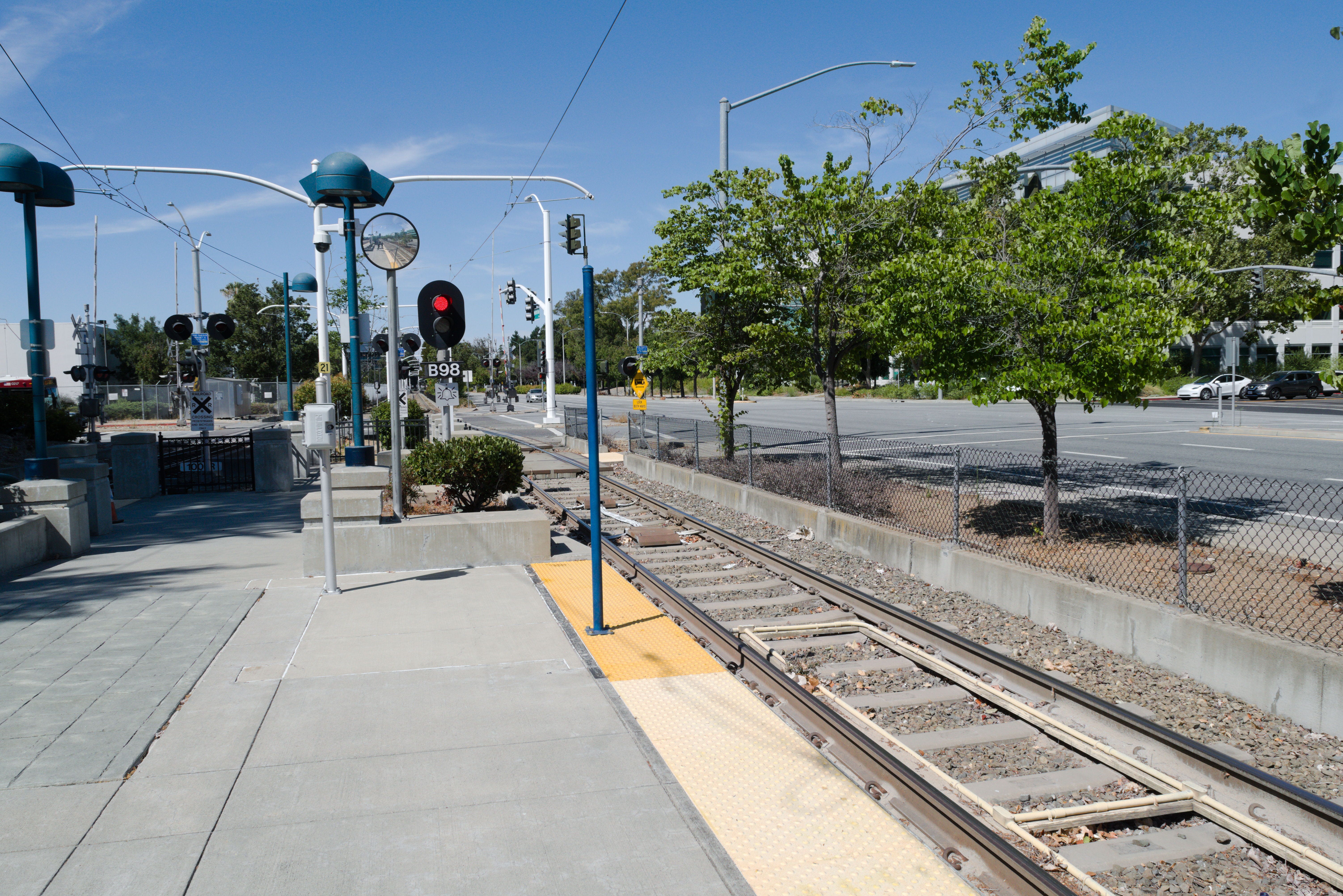
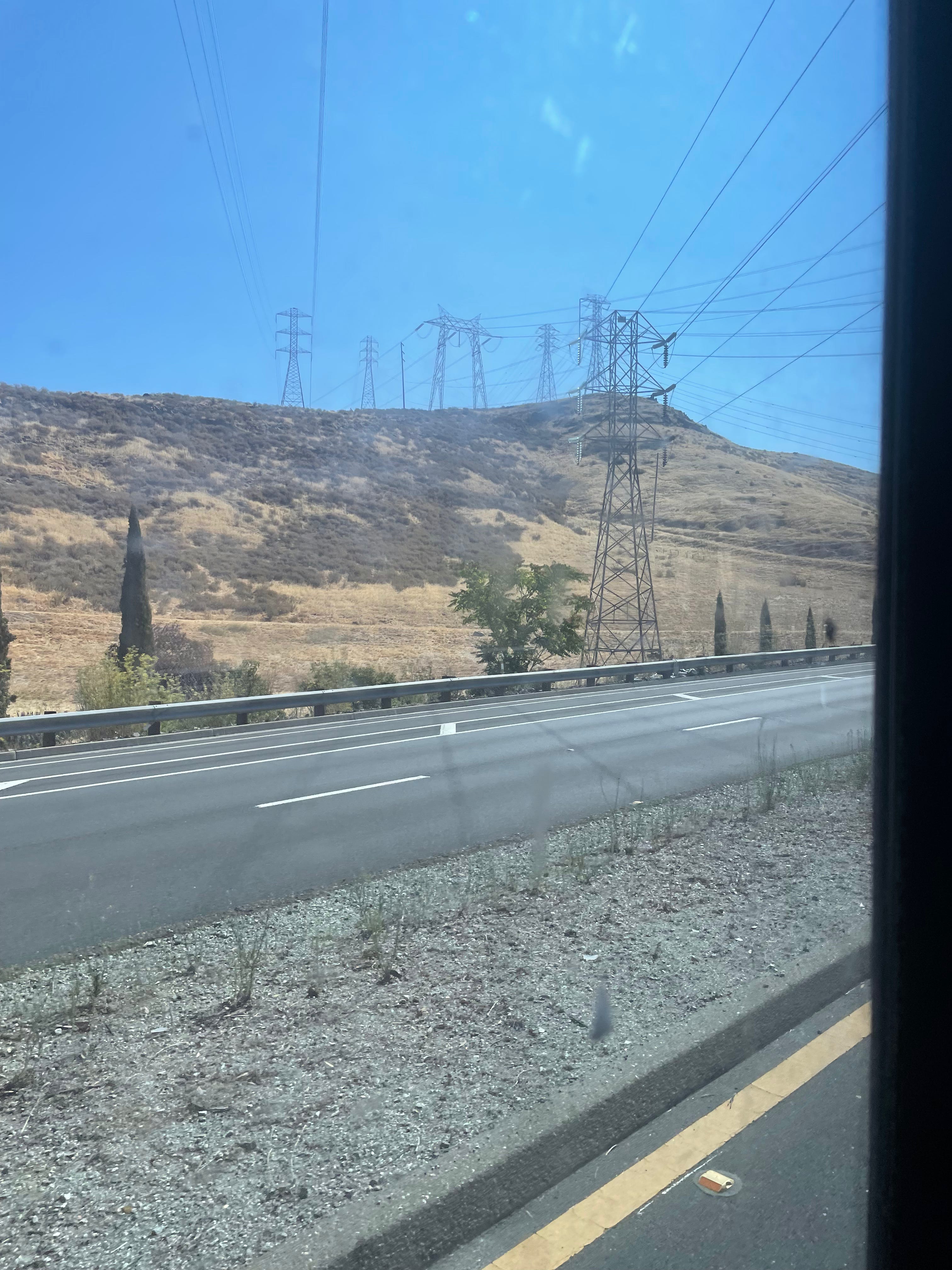
Once I reached Diridon Station, I used light rail to reach Santa Teresa Station, at the end of the blue line. This would take me on tracks in the median of highways 87 and 85, where the train can achieve its maximum speed and whiz past traffic.
At Santa Teresa Station, I waited for bus route 27, which begins at the station and winds its way through the streets to Winchester Station, the end of the green light rail line.
The trip on 27 took an hour and 30 minutes, passing by the hospital I had started that day out at. Before reaching highway 17, the route turns south to parallel it for couple of miles on increasingly narrow roads. It crosses the highway into downtown Los Gatos, then turns north and parallels 17 once again, making a few stops in a residential neighborhood before ending at Winchester Station. All in all, this route covers about 21 miles.
Upon reaching Winchester Station, I boarded a northbound train and rode it for a few minutes, disembarking to take a southbound 61 bus back to the hospital I had started at.
Progress: 7/45 routes - 15.5% complete
Day 4 - July 16th
Routes 26, 57, 60, and 77; green line light rail
I arrived at the Eastridge transit center, just outside of the mall of the same name, at 8:15 a.m., and boarded route 26 not long after. The trip from the east San Jose mall to the aptly-named West Valley College took just over an hour, and I even arrived slightly early, waiting to take route 57 from its start at the college.
Taking 57 north through Santa Clara, a stop was made to pick up a class of 20 or so summer camp kids who packed the bus like sardines before disembarking two stops later. It was only about 15 minutes afterward that the route ended at the Old Ironsides light rail station, just a half mile from Levi’s Stadium. Coincidentally, this station is also where the green light rail line starts, so I boarded the waiting train at 10:40 a.m.
I’ve always enjoyed taking light rail in Silicon Valley, despite its flaws. Maybe traveling on rails with the reassuring whir of the train accelerating gives the illusion of speed. In reality, the 14 mile trip to the end of the line at Winchester Station took about 57 minutes, partially due to trains needing to slow to 10mph in downtown San Jose. It’s always been fine by me, though - I enjoy the scenery.
Winchester Station has a small transit center located next to it, with bus stops for a few different routes converging on the location. One of these is route 60, which I got onto around 11:45 a.m.
Route 60 is the only bus route which serves San Jose Mineta Airport directly, and is used as a connection between the Metro/Airport light rail station and the airport terminals, which are a mile apart. The route swings by each terminal, dropping passengers off as close as possible, then travels through north San Jose and enters Milpitas, terminating at the BART station there. All in all, this takes about an hour and fifteen minutes.
I ended the day with route 77, taking it from Milpitas BART back to Eastridge in a short, 38-minute trip. Throughout the day, I covered a total of 68 and a half miles!
Progress: 12/45 routes - 26.6% complete
Day 5 - July 19th
Routes 64B, 83, and 64A
Route 83 is a rather infrequent one, running once an hour between Almaden Valley in south San Jose and the Ohlone/Chynoweth light rail station a couple of miles north. The route has a loop near its end, with a couple of stops adjacent to a walking trail which I decided I would check out.
To get there, I would be taking 64B, which starts at McKee & White in east San Jose, then travels through downtown. Afterwads, it heads south from to the intersection of Almaden Expressway and Camden Ave. in Almaden Valley. It shares the first half of its route with 64A until reaching the Diridon train station near downtown, where they split off.
I left home at 9 a.m., and from there, it was just a matter of a short hop via a connecting bus route to White & McKee. The trip on 64B took just over an hour, during which time I noticed that the bus operator seemed to be taking a test as part of training. If so, I do hope he passed it.
The route ended at the intersection of Almaden Expressway and Camden, and after a half hour of waiting, I boarded 83, which has a stop at the same intersection. I was only on the bus for about 10 minutes before getting off in a residential neighborhood and going to walk the trail for an hour.
During my walk, I discovered a massive tree branch resting on the side of the trail. It hadn’t broken off of a tree - the tree it was attached to was just so large that the branch had to rest on the ground.
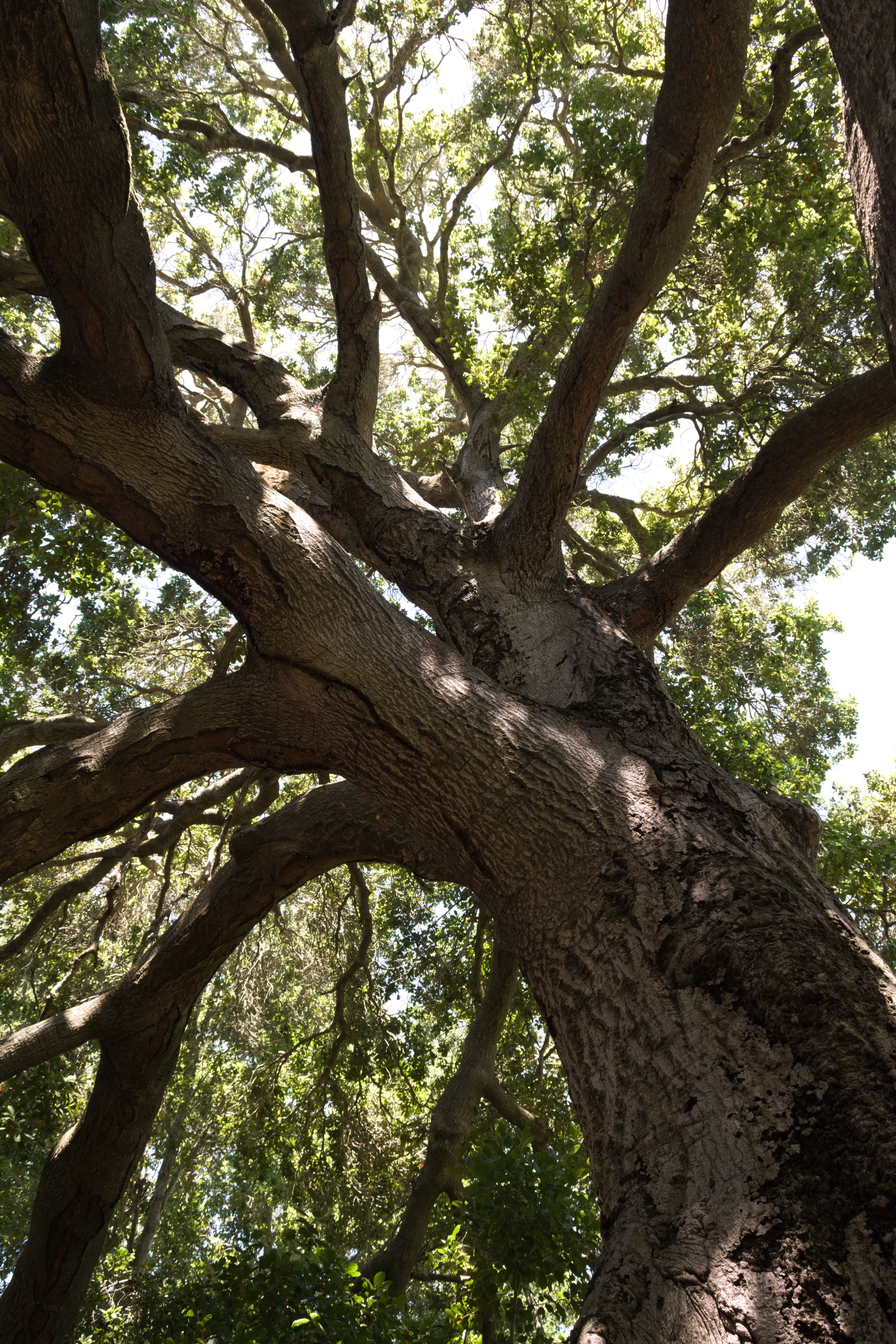
I still can’t describe the feeling that finding this and being there beneath it left me with. After a while of taking photos, I continued down the trail, but nothing else I found was as awesome as that was.
After about an hour of walking around, I found the nearest bus stop and boarded 83, completing the rest of the loop around Camden and passing the official start of the northbound route, as shown on the map above. I was at Ohlone/Chynoweth Station within 30 minutes, though the next 64A bus back to McKee & White had been cancelled, meaning I had to wait for about an hour at the station for the next one. After taking 64A back to east San Jose, I was home by 4 p.m.
Progress: 15/45 routes - 33.3% complete
Day 6 - July 23rd
Routes 70, 71, 31, and 42
Now exactly one-third of the way through, my next trip would be tackling some routes I was much more familiar with. I started out the day at Santa Teresa Station, taking light rail north to Capitol Station before leaving to board route 70 at its first stop.
It was only 11 a.m., and I was on track to complete that day’s routes in four hours, until a mile into the ride on 70, where the road ahead was blocked off due to police activity. This prompted a detour and a bit of a delay, and by the time I’d reached the end of the route at the Milpitas BART station, I knew that my schedule would be thrown off.
By contrast, route 71 was a breeze, only a 30 minute trip from Milpitas to Eastridge along White Road in east San Jose. Unfortunately, the outbound leg of 31 pulled out of Eastridge just as I was arriving, and due to its infrequency, I had to wait a half hour for the next one.
I had ridden route 31 in its entirety at least a hundred times before, using it to get to and from classes at Evergreen Valley College before I got my license. The last time I’d taken it was in December 2023, and it seemed that a couple of new stops had been added since, with names I didn’t recognize. (Some things never change, though, and a dip in the road caused the back of the bus to hit the pavement like so many others before it.)
This route only took 15 minutes to complete, and I had some time to kill before the next 42 bus was due, so I took a walk around the campus wondering how active it was during the summer. Unsurprisingly, it was very much dead. I enjoyed seeing how much progress had been made on buildings under construction, though, and they were set to open only a few weeks later.
I boarded 42 at EVC just after 3 p.m., and enjoyed the view as it traversed the hilly roads of the Silver Creek neighborhood. After coming down onto an arterial expressway, the route crawls through residential neighborhoods of south San Jose and crosses over Interstate 101 twice before terminating at Santa Teresa Station, all in less than 50 minutes.
Progress: 19/45 - 42.2% complete
Day 7 - July 24th
Routes 40, 52, 25; orange line light rail
For my seventh day of transit trips, I would be starting with the orange light rail line, something which I was extraordinarily familiar with. Much closer to home, it was only a matter of traveling a short distance to Alum Rock Station, the current beginning of the line, and boarding the train there.

The orange line travels in a north-south orientation on Capitol Ave. for several miles, sitting in the median of the four-lane road, and then lifts onto a sort of viaduct in Milpitas. It stops at the BART station there, and further west, at office parks and corporate campuses. In the last few miles of the line, it makes stops in front of Lockheed Martin, two different Google campuses, and NASA’s Ames research center. I got off of the train in downtown Mountain View just under an hour after leaving Alum Rock.
This actually marked the fourth time I’d taken the orange line end to end in my lifetime, and the first of them was by complete accident.
Next up on the agenda were bus routes 40 and 52. Both of them run between Mountain View Station and Foothill College, but 40 takes its sweet time getting there. Fittingly, my ride on it took 40 minutes, heading north of the station and passing by Google’s headquarters before dipping south toward the community college campus.
I arrived at Foothill College a little before noon and decided to walk around the campus, since I’d never been there before. It’s a quaint place, and I feel that the style of the buildings matches well with the towering trees and hilly location. Per its name, Foothill College is located in the foothills of the Santa Cruz mountains, in the northwest corner of Silicon Valley, but its view of the valley below is blocked by trees and other buildings.

I spent a half hour on the campus before leaving and heading back to the bus stop I had arrived at, which is where route 52 begins. Contrasting route 40, 52 is much more direct between its endpoints, clearly more geared toward college students arriving on light rail or Caltrain. My ride on it only took 20 minutes, and I was back at Mountain View Station to backtrack on light rail just before 1 p.m.
After getting off at a different station and taking a connecting route down to De Anza College, I took a break to grab a drink and then boarded a route 25 bus back to Alum Rock Station. I arrived back where I had started an hour and 40 minutes later.
Progress: 23/45 - 51.1%
Day 8 - July 26th
Routes 66 and 59; blue line light rail
Just over halfway through my planned routes, I was feeling more invigorated than ever. On July 26th, I was in north Milpitas by 9 a.m., waiting to board at the start of route 66. I was in for a long ride - an hour and 36 minutes of journeying through Milpitas, downtown San Jose, and other neighborhoods. The route terminated at the now-familiar Santa Teresa Station, and comes up to nearly 23 miles in length.
After that, I was off to take light rail on the blue line, and I would be passing through one of my favorite segments of the rail network. There’s something so satisfying about riding in the highway medians, especially during rush hour.
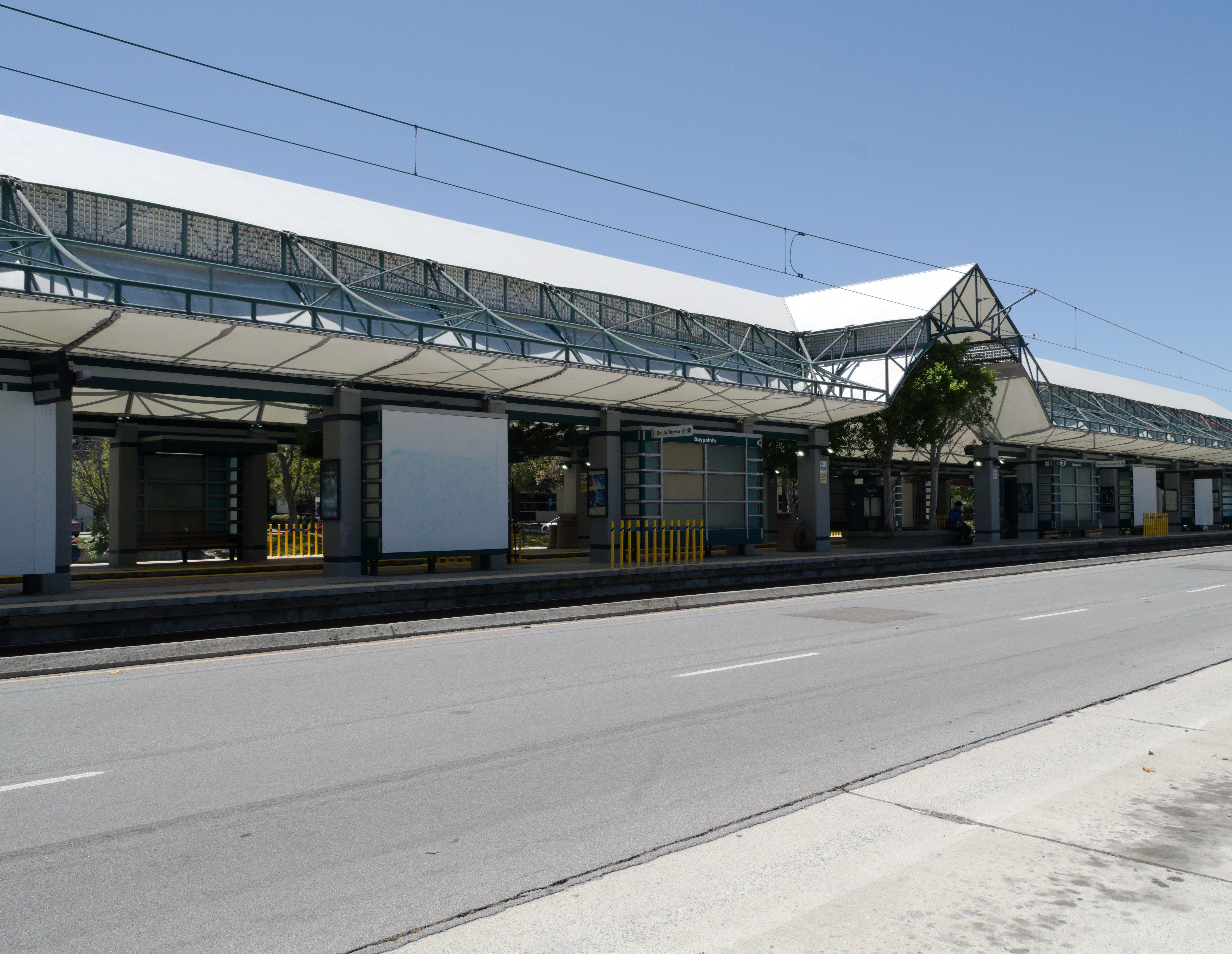
Like every other light rail line ridden end to end, this one took between 50 minutes and an hour to travel. At the end of the line is Baypointe Station, easily the largest light rail station in VTA’s network. If you’re paying attention, you can even see rows of hanging square panels below the eaves of the station roof that sway in the breeze.
At Baypointe Station, I got on a bus for the final route of the day, route 59. It rather indirectly made its way to the intersection of Stevens Creek Blvd. and Saratoga Ave., several miles southwest. Along the way, it made stops in the Alviso neighborhood, which borders the bay at San Jose’s northern extremities and is also home to a rather unique county park.
I used the rest of my time on route 59 to catch up on sorting photos which I’d taken previously that summer, and I’d reached the end of the route in an hour. From there, I took a connecting route to go downtown, stretched my legs, and took route 66 back to where I’d started out that morning.
If anyone asks me if I’ve been on Route 66, I can say yes on a technicality.
Progress: 26/45 routes - 57.7% complete
Day 9 - July 31st
Routes 22, 522, and 39
For the final day of July, I’d planned for a couple of long haul routes which would take me from Eastridge to Palo Alto. The first of these is rapid route 522, something which I’m already well acquainted with on the basis of me almost never driving into downtown San Jose.
After leaving Eastridge on 522 at 9:35 a.m., the bus went up Capitol Expressway and then down Alum Rock Ave., with its own dedicated lane on the latter for a mile and a half. It continues on the same stretch of road for most of its journey, as the name of that road changes from Alum Rock Ave., to Santa Clara St., to El Camino Real. This was about 25 miles long, and took an hour and 43 minutes.
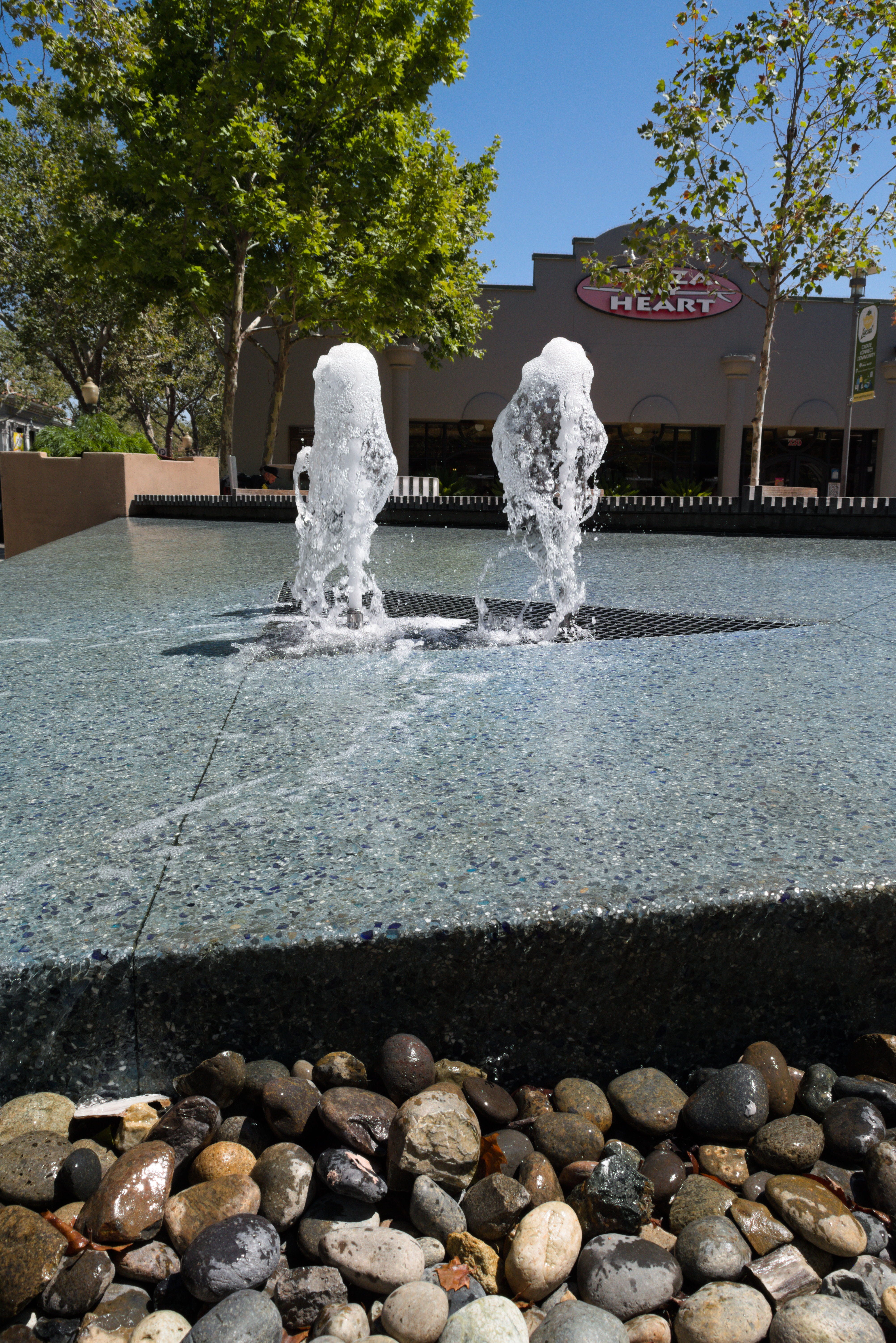
Once in Palo Alto, I took a walk around the downtown area and got some truffle fries which were, unfortunately, mediocre. I took a while to sit next to a fountain while waiting for my return bus.
I boarded route 22 to return to Eastridge at exactly noon. This trip was pretty uneventful, running alongside 522’s route for most of the journey. 22 turns south onto a different arterial road headed to Eastridge earlier than 522 does, which makes the distance slightly shorter. However, because 22 has more stops, it took two hours and 10 minutes to complete the route - the longest one I would ride in terms of time.
Once I was back at Eastridge, I took route 39 to its end. On its way to its final stop just outside of the upscale Villages neighborhood, the bus goes up into the foothills, passing by a fancy temple and a plaza full of cafés and restaurants. Of course, this ride was a much shorter one, and when I reached the end of the route, I walked through a residential neighborhood to take a 31 bus back to Eastridge.
Progress: 29/45 routes - 64.4% complete
Day 10 - August 1st
Routes 56 and 523
Riding 56 and 523 would be relatively straightforward, since they both have endpoints at the same location - a small transit center down the road from Lockheed Martin’s Silicon Valley location. I had an easy way to get there, and around 10 a.m., I boarded an orange line light rail train and rode it for the better part of an hour, disembarking at a station connecting to the transit center.
My original plan was to ride 56 from the transit center south to its terminus, but after that bus was cancelled, the schedule I had created was thrown off by a few minutes. Luckily, there was a 523 bus leaving the transit center around the time I found out about the cancellation, so I gladly took the opportunity to do my plans in reverse.
On a map, rapid route 523 takes on the shape of a jagged and elongated letter L as it passes by the Sunnyvale transit center, De Anza College, Santana Row, and Valley Fair Mall. From De Anza, it parallels route 23 until downtown San Jose, where 523 makes its last stop a block from San Jose State University. The ride took an hour and 11 minutes in total.
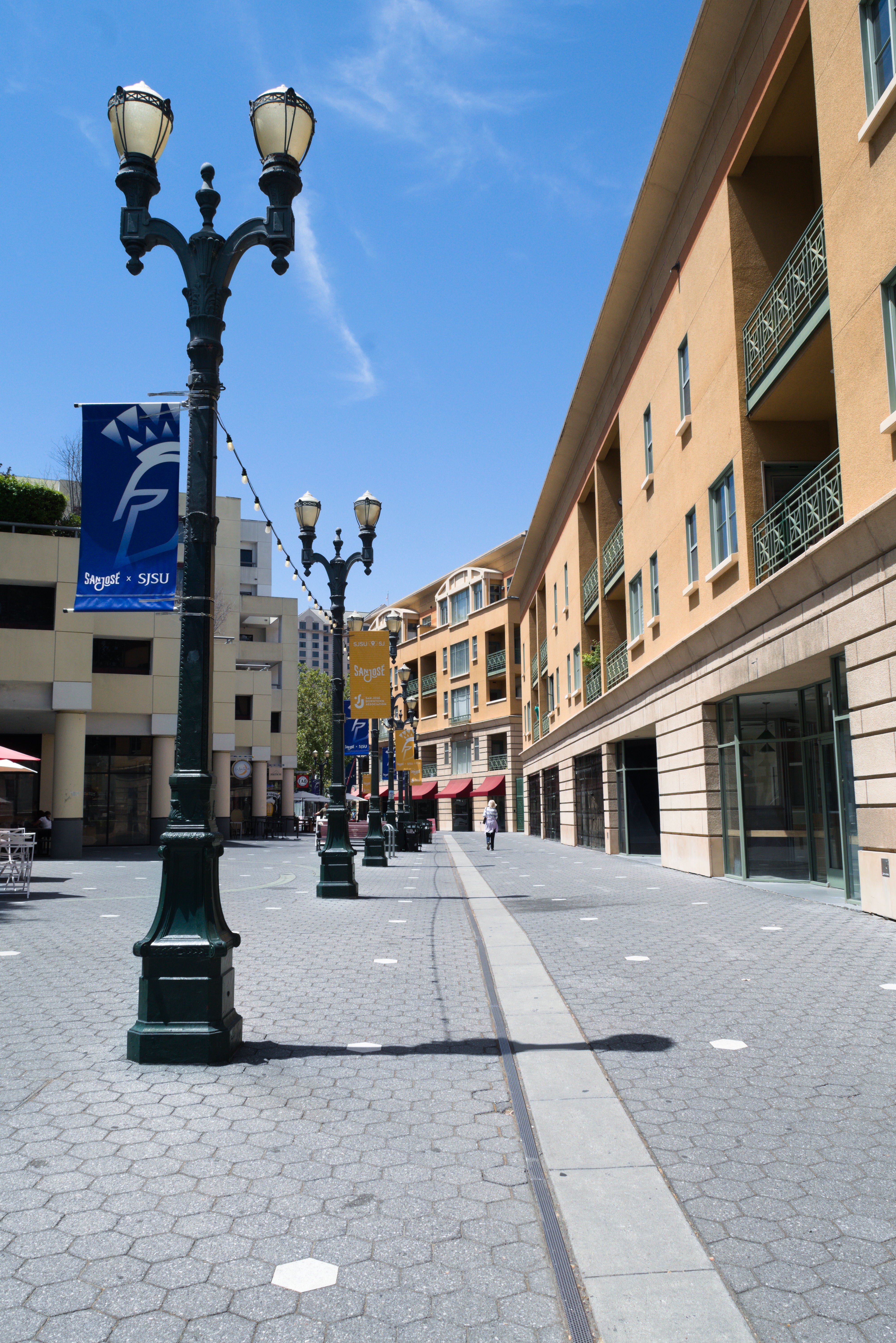
From the end of that route, I navigated around SJSU and through one of the best parts of downtown San Jose to take a walk, Paseo de San Antonio.
Along the paseo, I remembered there was a crêpe restaurant nearby which I’d wanted to try out. I bought a peach crêpe and enjoyed it across from the combined light rail station and bus stop that I would be departing from later.

Afterwards, I took a bus down to the intersection of Tully and Monterey Roads, where I would get on board route 56 headed back to the Lockheed Martin transit center. On the way back, the bus passed by Apple’s headquarters in Cupertino, which has some stops designed to look sleek and futuristic.
The ride on route 56 took exactly an hour and a half, terminating at the transit center I’d started at earlier that day. From there, I took light rail home, arriving back in Alum Rock around 4:30 p.m.
Progress: 31/45 routes - 68.8% complete
Day 11 - August 5th
Routes 37, 51, and 53
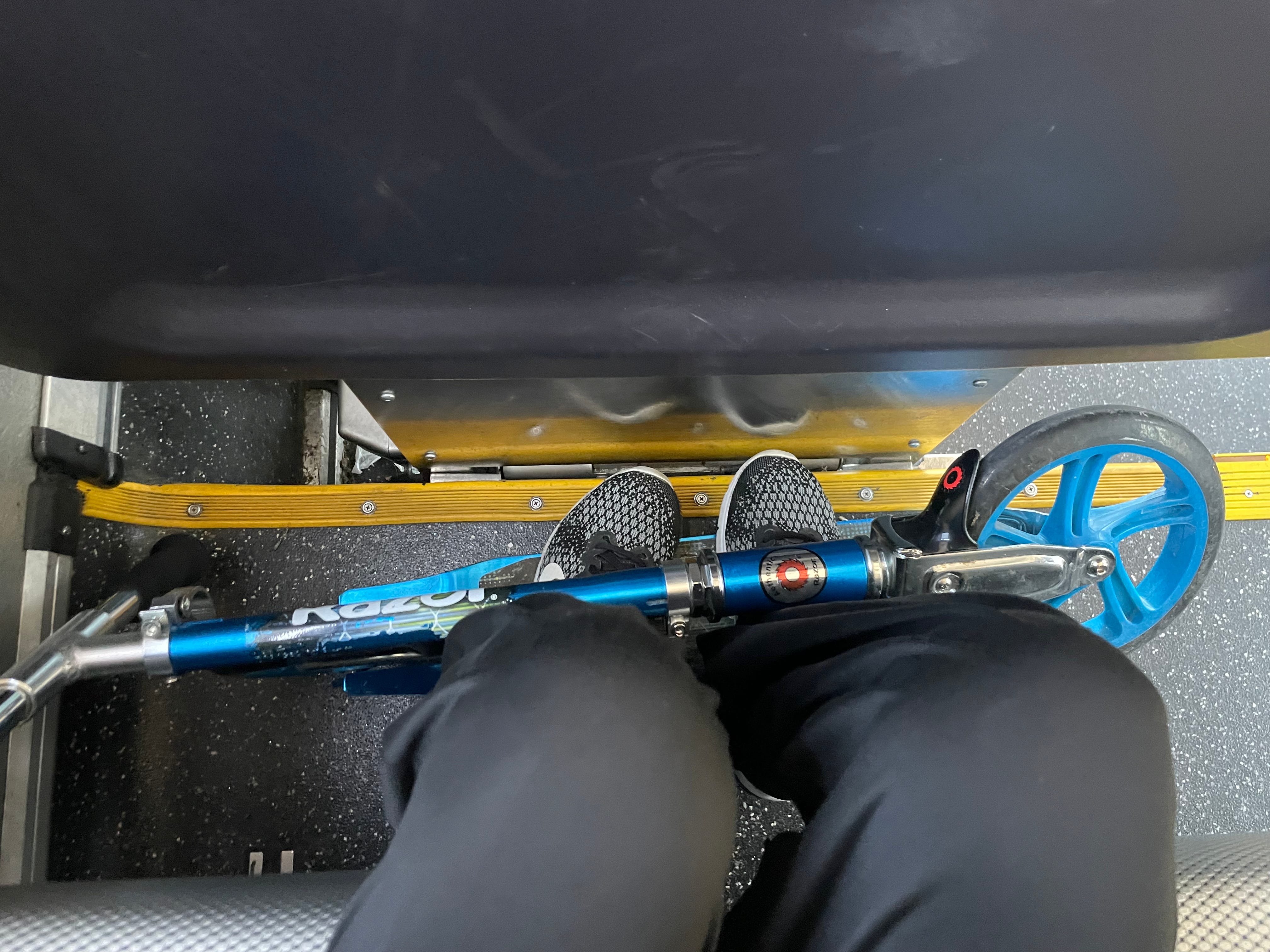
Now with just over two-thirds of the planned routes completed, the end was in sight. With a burning motivation, I showed up at the start of route 37 at Capitol Station just after 8 a.m. on August 5th. I would be using a scooter to get around as well, so I took that along and kept it by my feet.
Riding route 37 wasn’t terribly eventful, aside from passing by a middle school I had attended in my younger days. (Seven to eight years ago? How time flies.) I was at the terminus at West Valley College only 43 minutes after leaving Capitol Station, and I went to stretch my legs before boarding a bus on route 51.
Route 51 turns southwest after leaving West Valley College, and then turns to the north, passing by downtown Saratoga in the process. It passes through the cities of Cupertino, Sunnyvale, and Mountain View, all on the west side of Silicon Valley. The ride was quiet, and I was lucky enough to be on a type of bus which is usually used for express services for commuters. Occasionally, they’re put in service on regular frequent and local routes, and it’s always a joy to ride on one because of the comfy seats and footrests.
Unfortunately, the final half-mile of route 51 is on federal property belonging to NASA’s Ames Research Center. Without clearance to enter that property, I was unable to ride that part of the route, and had to get off at the last stop before the bus entered the research center. I still count this as riding the route end to end, since riding any further would have been illegal.
After disembarking from route 51, I rode my scooter to a bus stop for a different route, which took me to Mountain View Station. I was able to take light rail and route 523 to reach the Sunnyvale transit center, where I took a bus on route 53.
Route 53 runs between Sunnyvale and Santa Clara transit centers, which are connected much more directly by Caltrain’s commuter rail services. The route clearly isn’t meant to be ridden end to end, and exists more so to serve people in the surrounding neighborhoods.
This was also rather uneventful, with a view mostly comprising of suburbs, so I used the time to read a little bit before arriving at Santa Clara and taking a connecting route home.
Progress: 34/45 routes - 75.5% complete
Day 12 - August 6th
Routes 44, 47, 20, 55, and 23
The morning of August 6th, I was so excited to get back out that I left home without even eating first. That was fine by me; my first ride of the day was a quick, 18-minute hop from Milpitas BART to a shopping center using bus route 44. With thirty spare minutes, I bought a package of muffins from the Walmart next to the bus stop, and ate one while I waited for my next ride to arrive.
I got on board route 47 back to Milpitas BART just after 10 a.m. Both 44 and 47 start and end their routes at the same places, but, similar to 72 and 73, take different routes to arrive there. The trip 47 was about 10 minutes longer than that of 44, and passed through what could technically be called downtown Milpitas on its way back to the BART station.
Once I arrived at the station, I waited for and boarded route 20. I stayed awake long enough to see the drive along Montague Expressway, and to go past a neighborhood I had once lived in, but fell asleep for a while after that. I woke up as the bus approached Sunnyvale Transit Center, and with a few spare minutes after disembarking, I took a quick walk around to take some photos.
I took route 523 to Lockheed Martin Station, and light rail from there to Old Ironsides, where I waited for the next bus of the day. It took a while before it was ready to board, and I got on at 12:35 p.m.
Route 55 wound its way through a residential neighborhood in the beginning, and made a stop back in downtown Sunnyvale, but after that, it was a straight shot mostly on the same arterial road until the bus reached De Anza College. With some time left to kill, I bought a dish of my beloved Panera macaroni & cheese, and took some time to eat that while enjoying as much of a view as Stevens Creek Road could offer.
I walked back to De Anza College and got on board, taking my favorite location of seating to find that someone had stuck a couple of googly eyes to the back of the seat in front of me. (I happened to be on the same bus later in August and they had been removed, unfortunately.)

The ride lasted for an hour and 18 minutes, and brought me back to Alum Rock Station. Throughout the day, I had made a sort of semicircle around most of the northern half of Santa Clara County, and had ridden a total of 56 miles on public transit.
Progress: 39/45 routes - 86.6% complete
Day 13 - August 8th
Routes 21 and 89
On my second-to-last day, I’d planned to be at the Santa Clara transit center by 11:30 a.m., in time to get on board a route 21 bus. I timed it perfectly, arriving early and spending some time at the transit center, surrounded by weird-smelling - but pretty - flowers.
When the bus I was waiting for arrived, I sat near the front and had a great view out of the windshield. I spent most of the hour and a half I was on board reading through news articles online, or looking at the road ahead. The operator was friendly and seemed to have taken note of the fact that I’d ridden the entire route as he let me off at the terminus.
The end of route 21 is next to the upscale Stanford Shopping Center in Palo Alto, and is perhaps less than a quarter mile from the San Mateo County line. By now, it was already past 1 p.m., and growing hungry, I found a pretzel shop. I consider these to be the holy grail of all malls, no matter how bougie or trashy they are.
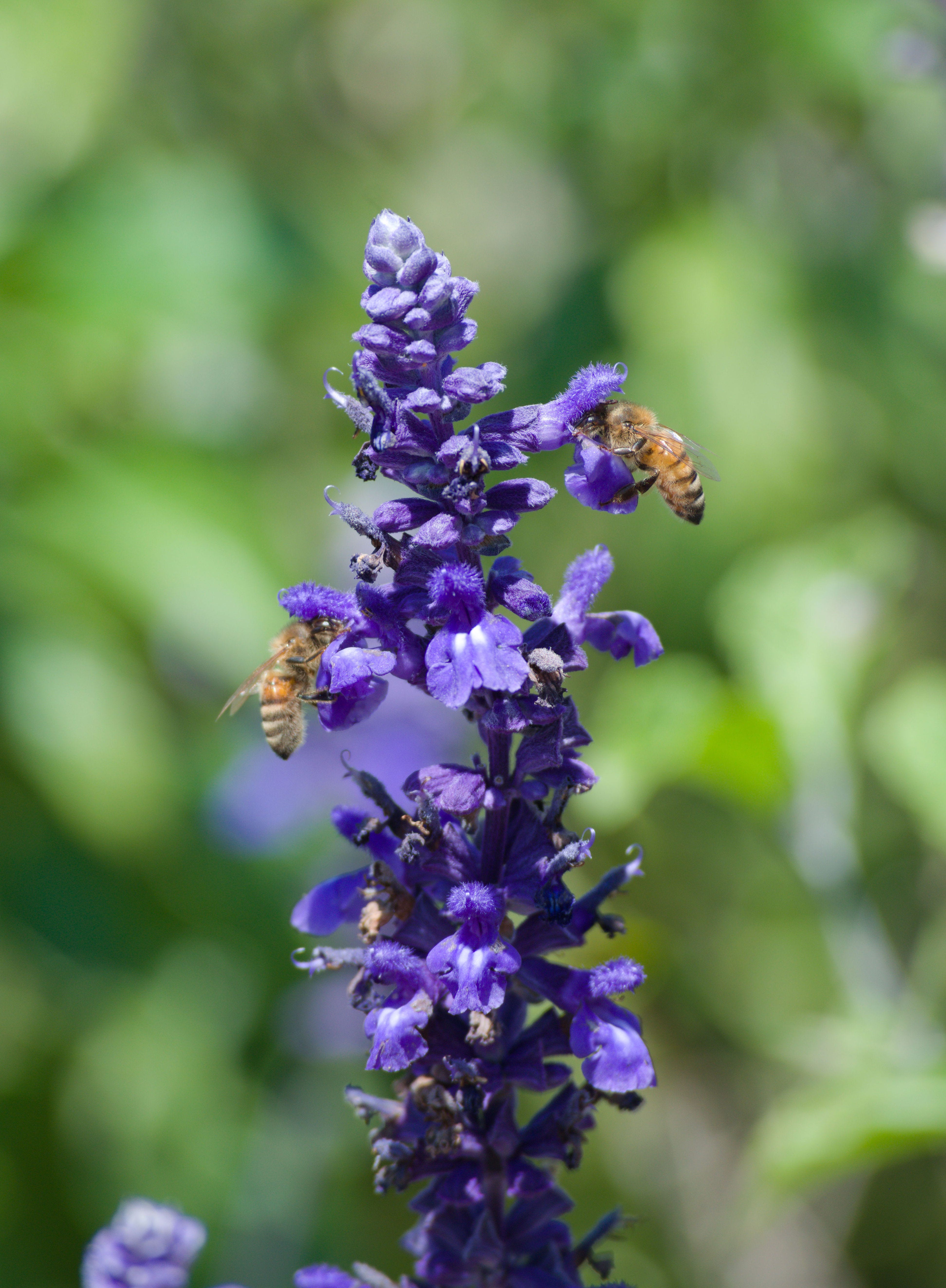
After that break, I walked to the Palo Alto transit center and took route 22 a couple of miles down to Page Mill Road. From that point, I rode 89 south to the stop just before its terminus at a medical center, and was pleasantly surprised to find a row of flowers full of bees nearby. I’ve always found taking photos of bees to be somewhat therapeutic, so I did that for twenty minutes before walking the rest of the way to the medical center.
After a few minutes of waiting, a different bus for route 89 arrived, and I eagerly got on board. I’d scheduled my entire day around riding on an extended version of this route, which is only used during the morning and evening rush hours, and which passes by offices just south of the medical center.
Contrasting my earlier trip on route 21, riding 89 only took 20 minutes, and I got off at the terminus: the California Ave. Caltrain station. I would be riding the train back to San Jose, and this was the only time I took a non-VTA connection throughout the project.
Progress: 41/45 routes - 91.1% complete
Day 14 - August 9th
Routes 68, 85, 84, and 87
The end of my riding journey was set to end where it began - 30 miles south of San Jose, in Gilroy. At exactly 9 a.m., I was on my way to Diridon Station, where I would catch a route 68 bus half an hour later.
Route 68 is the mildly slower alternative to route 568, with more stops along its length. It actually runs alongside 568 for the first several miles of the route, before deviating and serving the Santa Teresa neighborhood. South of Santa Teresa, it passes between two hills with hiking trails stretching out in either direction. The land the route serves is mostly unoccupied until it joins back up with route 568 in downtown Morgan Hill. In total, it takes around an hour and 25 minutes for it to reach Gilroy’s transit center.
A little while after arriving at the transit center, I was ready to board a bus on route 85 headed for St. Louise Hospital. It passed by a couple of places I was familiar with, and made a loop around a couple of residential streets. Once I got to the hospital, I realized that there was a farmer’s market going on that day, and I spent an hour there while waiting.
Just before 1 p.m., the next bus on route 84 came along. This ride was slightly shorter than route 85, and took a different path around a couple of shopping plazas back to the transit center.
I got a croissant from a nearby cafe while I waited for a 568 bus, and then boarded it half an hour later. The plan was to take 568 up to Morgan Hill and then walk to the start of route 87, but I had to disembark early and wait thirty minutes for a different bus when a passenger had a medical emergency. Thankfully, I had just enough time to get to the 87 stop - though I do hope the other passenger turned out okay.
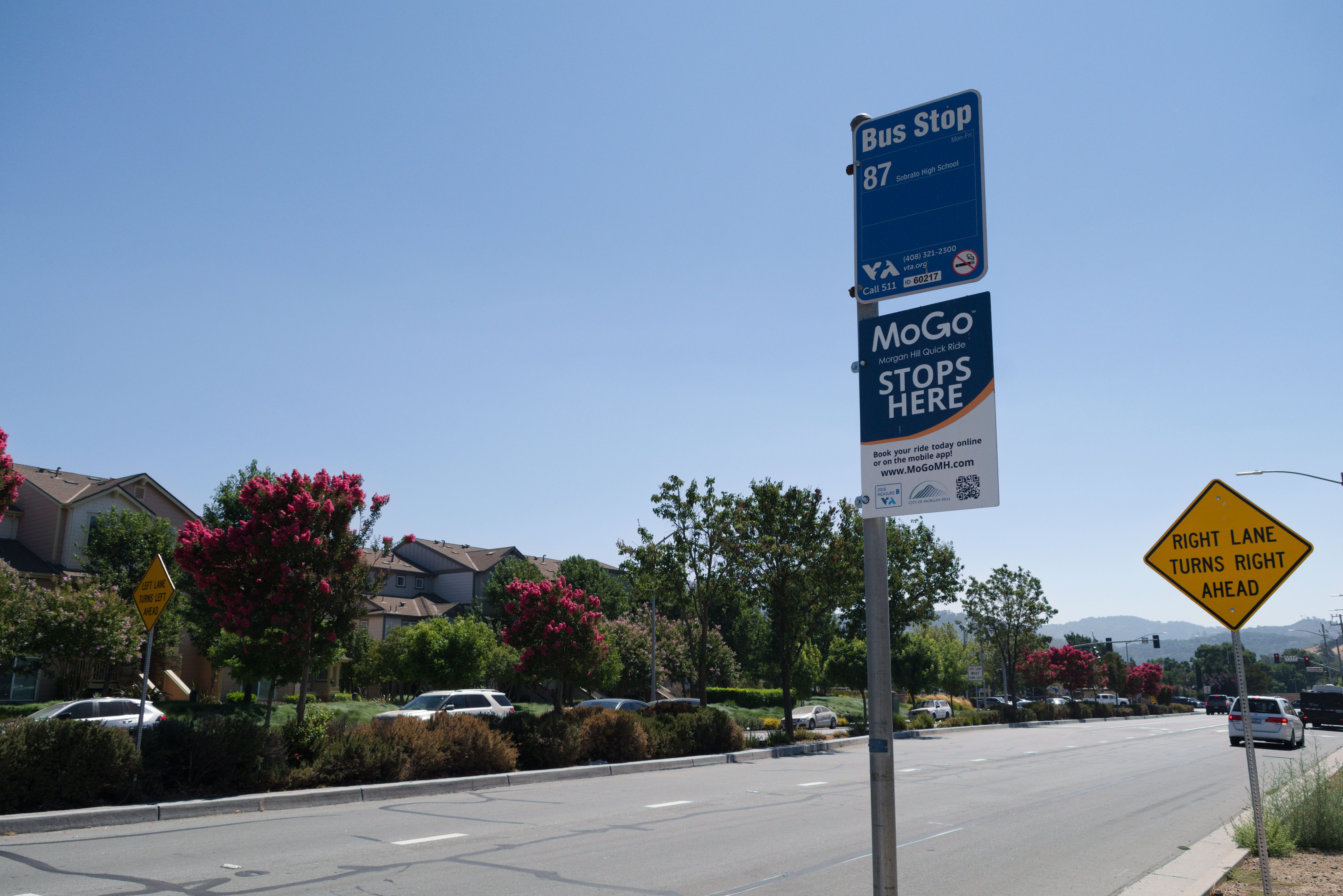
There was only one other rider on the 87 bus as it wove through the side streets of Morgan Hill. The route passes through orchards and houses separated by fields east of Interstate 101, and almost immediately hits the more populated areas of Morgan Hill as it crosses back west of the freeway. It travels down the city’s Main St. for two miles, and then terminates next to the library.
As I disembarked, having officially ridden every public bus route in VTA’s network end to end, I didn’t feel any different - yet. It was when I was walking down the street toward downtown Morgan Hill that the realization of what I’d done began to sink in. The feeling of accomplishment that followed and the way my head rushed with “Oh my god, I did that,” is hard to describe.
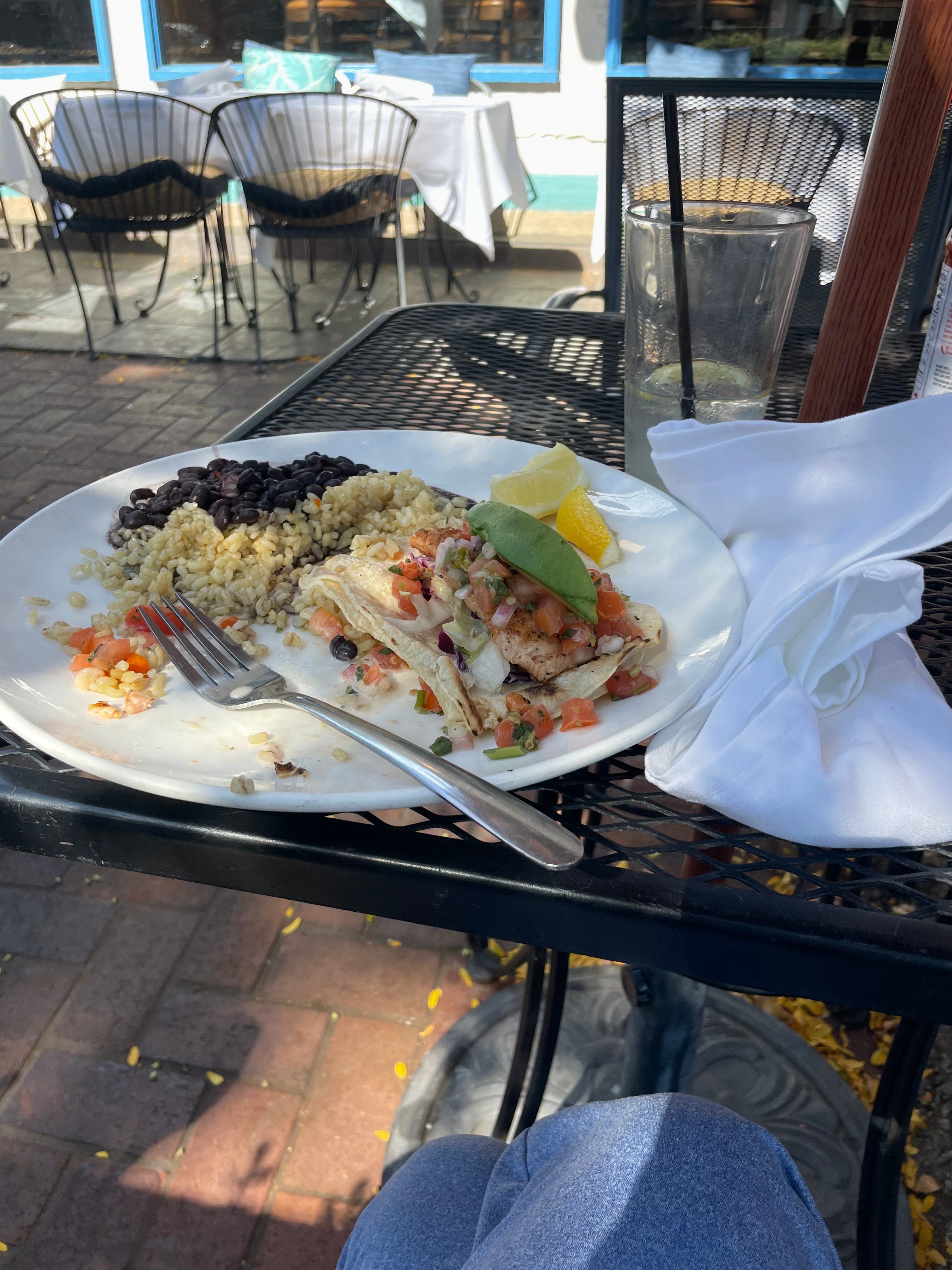
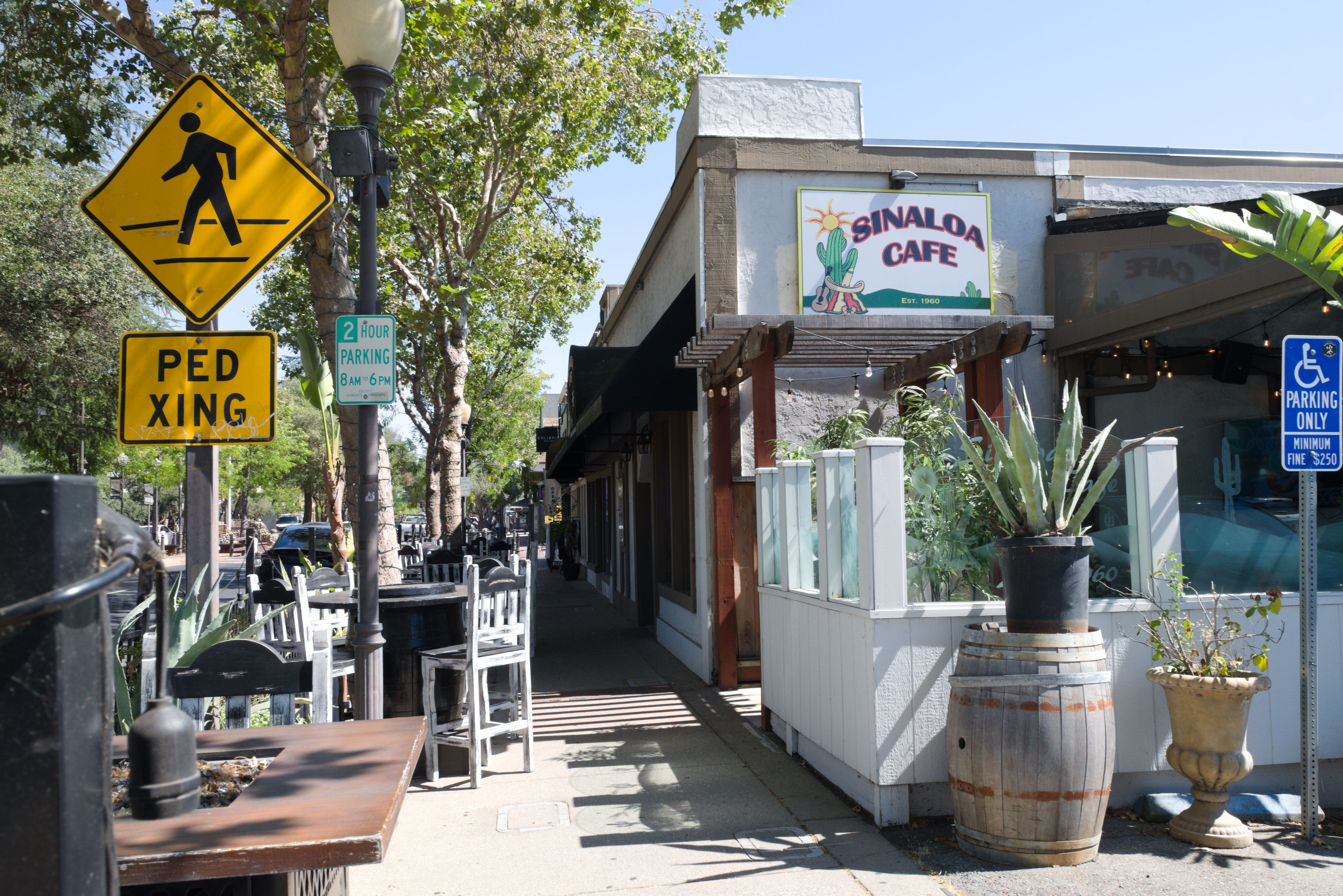
I’ve always been fond of downtown Morgan Hill, and I didn’t quite feel as though I wanted to leave yet, so I sat down at my favorite restaurant in the town, Rosy’s at the Beach. Their specialty is seafood, so I indulged in a salmon taco.
I took my sweet time, and took a 568 bus back to San Jose at 4:30 p.m. It took two hours after that before I was home, but I didn’t mind - it was worth it to achieve what I did.
Progress: 45/45 routes - 100% complete
Reflections
In total, riding all 45 routes took 41 hours and one minute, or one day and 17 hours - roughly the amount of time it takes to drive from San Jose to New York City nonstop. Riding those 45 routes alone, I covered a distance of 606 miles; however, including connections which took me between these routes, this jumps up to 843.7 miles. Throughout all of this, I never once left Santa Clara County on public transit, since all VTA routes operate within the county borders.
The best part? Due to having a student transit pass which allows for essentially free rides on all of VTA’s frequent, local, and light rail routes, this would come at very little cost to me. I only paid $5.45, and it was while using the Caltrain connector on August 8th.
This project was particularly interesting because, despite living in the county for 11 years, I still saw many places which were completely new to me, as well as ones which I was only vaguely familiar with. It also allowed me to explore locations I was familiar with in more depth.
Overall, I did enjoy my time undertaking this project, even though a lot of it was sitting and waiting. It gives me a sense that I actually accomplished something this summer, even if it’s something most people would consider unusual or a waste of time. In fact, I’ll probably do it again years from now if I have the time to. I wonder how much VTA’s network of buses and light rail will change between now and that potential point in time.
With BART Silicon Valley coming to fruition, light rail being extended, and every other change in between, I can’t wait to see what that will look like.
Author’s note:
In addition to the 42 frequent and local bus routes and three light rail lines, VTA also operates several express buses and shuttles. They are primarily for commuters, and serve locations such as office parks and corporate headquarters. These routes generally take passengers one way once an hour in the morning, and then the opposite direction once an hour in the evening.
In many of these cases, the shuttle or express route is the only public transit route which serves the immediate area. This means that if I were to ride the entirety of one, I would most likely be stuck wherever the route ended for several hours. In addition, my student pass which allows for free rides on regular routes would not be accepted on express buses, meaning I would have to pay a $5 fare every time I rode one.
For the above reasons, I decided not to include express and shuttle routes in my project. I chose not to classify them under my personal definition of “public bus routes”, as they are designed to cater to a select group of people, not so much the general public who use the frequent and local routes for a variety of reasons.